top of page
As developers like to make things as confusing as possible we will upload our own maps for each site
Yellow markers show the turbine locations, Orange markers show the site entrance

The image below is a representation of what the Mossmulloch turbines will look like from the A71 leaving Strathaven (heading towards Drumclog)
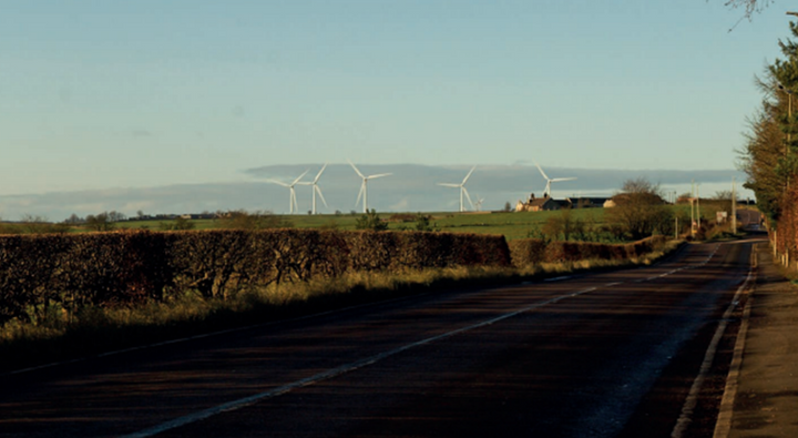
The image below is a representation of what the Mossmulloch turbines will look like further along the A71 between Caldermill and Drumclog.
NO the property shown is NOT financially involved with this development but will, along with others not shown in this image, be detrimentally affected by it.

bottom of page